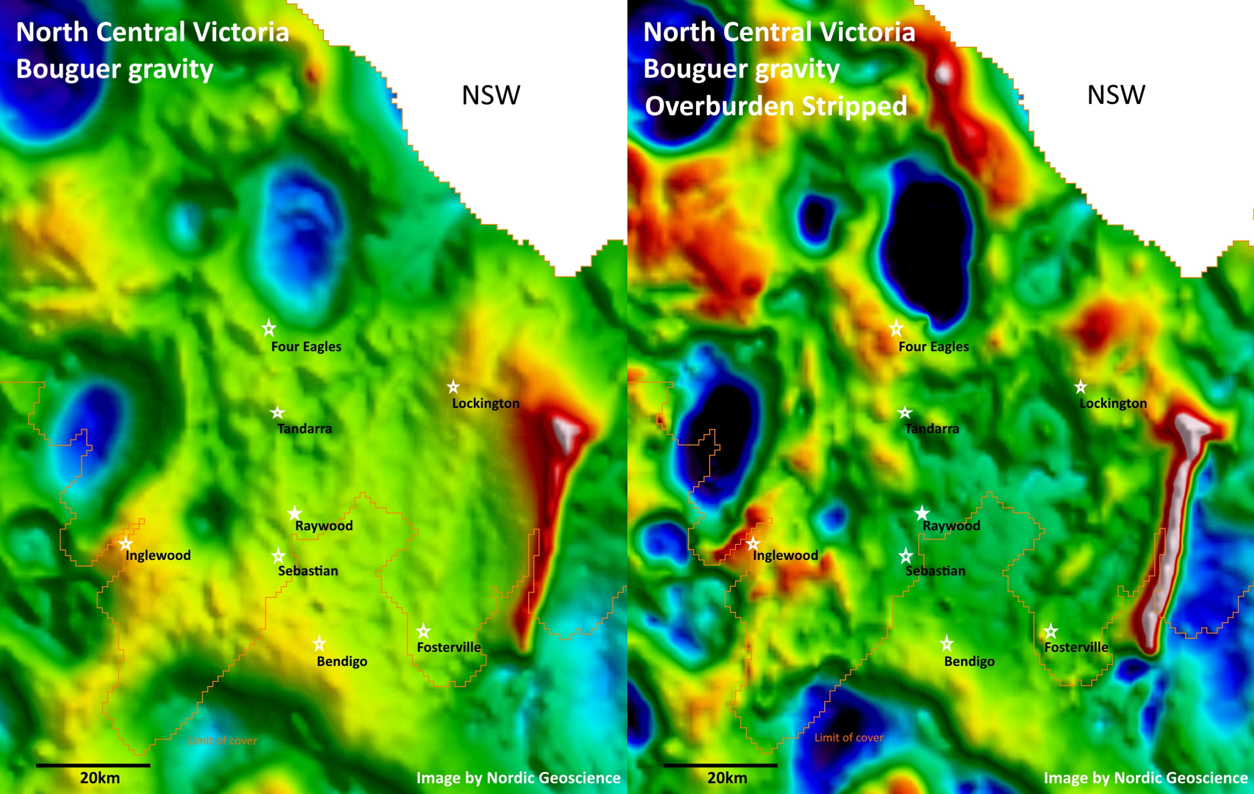
Your average gravity anomaly map contains contributions from both shallow and deep-seated geology. If you don’t have any additional constraints, then your interpretation will be ambiguous. However, if you have independent information about the near-surface cover sequence, then you can (1) model the gravity response of the overburden, (2) subtract the modelled response from the observed gravity data, and (3) thus lay bare the gravity responses from the underlying bed rock. This time-honoured technique is called “gravity-stripping”. Here is an example by Nordic Geoscience from North Central Victoria, showing both the public-domain Bouguer gravity data from Geoscience Australia, along with […]

Airborne Gravity Gradiometry – A Game Changer in Victorian Gold Exploration under Cover?
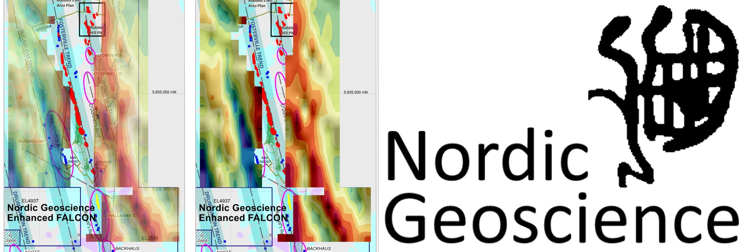
Reprocessing of airborne gravity gradiometry data reveals prospective trends near Fosterville gold mine. The Fosterville gold mine in Central Victoria, Australia, is just a two-hour drive from Melbourne, where I am in COVID-19 lockdown for the third week running. The mine currently has reserves of 2.72 million oz. at 31 grams per tonne (g/t), and it is one of the world’s highest-grade, most profitable gold mines. Recent spectacular grade results at Fosterville has sparked a resurgence in gold exploration in Victoria, and airborne gravity gradiometry may well be the game changer as exploration moves further under cover north of Fosterville. […]
